12. Working Political Maps
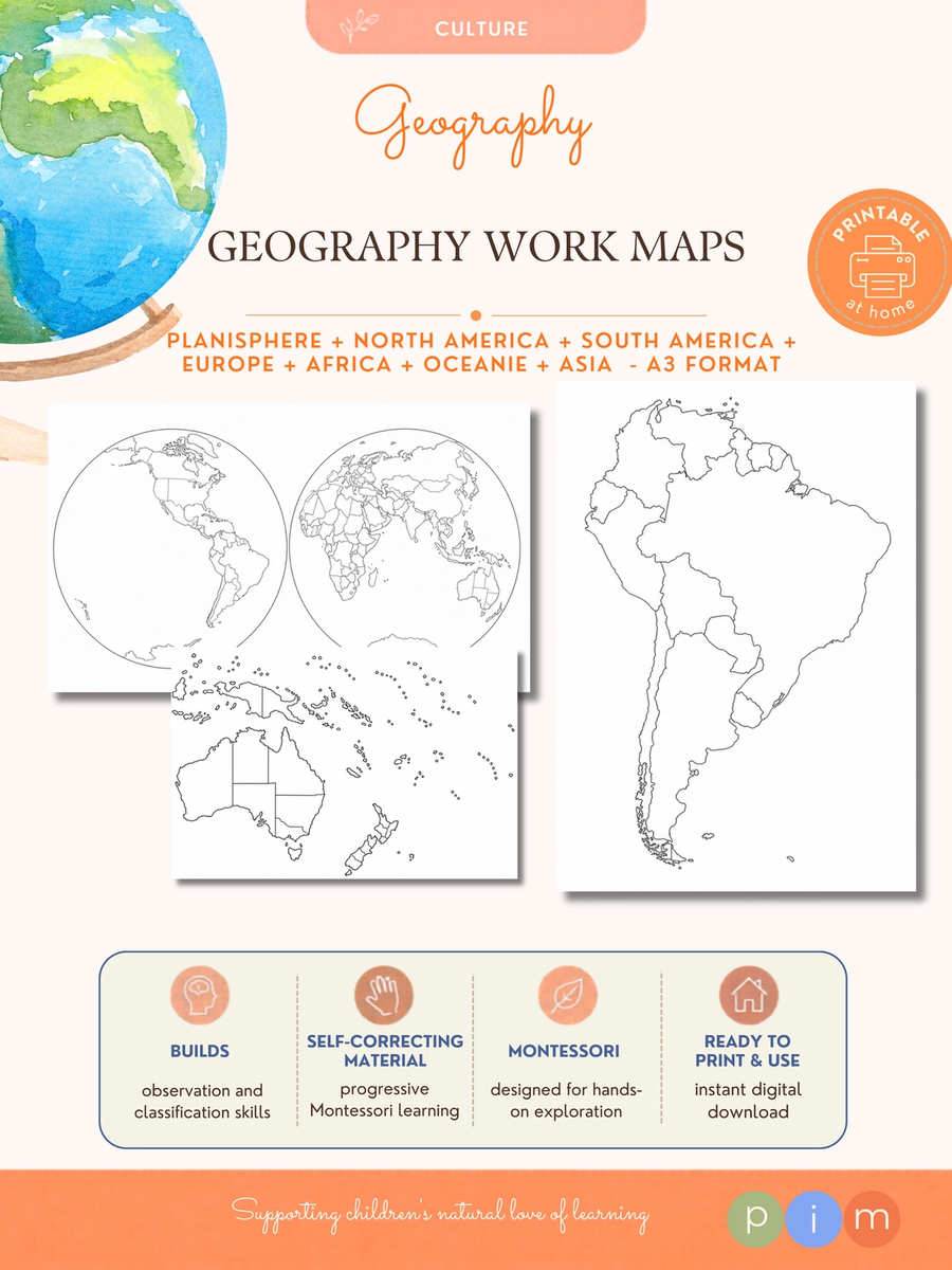
This collection of political maps has been designed for children's independent geographical work. Unlike blank maps, these maps serve as practical resources for coloring, labeling, locating countries, recording information and carrying out geographical research.
This collection of political maps has been designed for children's independent geographical work. Unlike blank maps, these maps serve as practical resources for coloring, labeling, locating countries, recording information and carrying out geographical research. Includes: - World political map. - North America. - Central America. - South America. - Europe. - Africa. - Asia. - Oceania. They are the perfect companion to World Flags, Countries & Capitals, World Currencies and other Montessori geography materials. Montessori Purpose: To strengthen geographical knowledge through mapping, labeling, coloring and research activities while developing spatial orientation and visual memory.