Available
11. Blank Political Maps
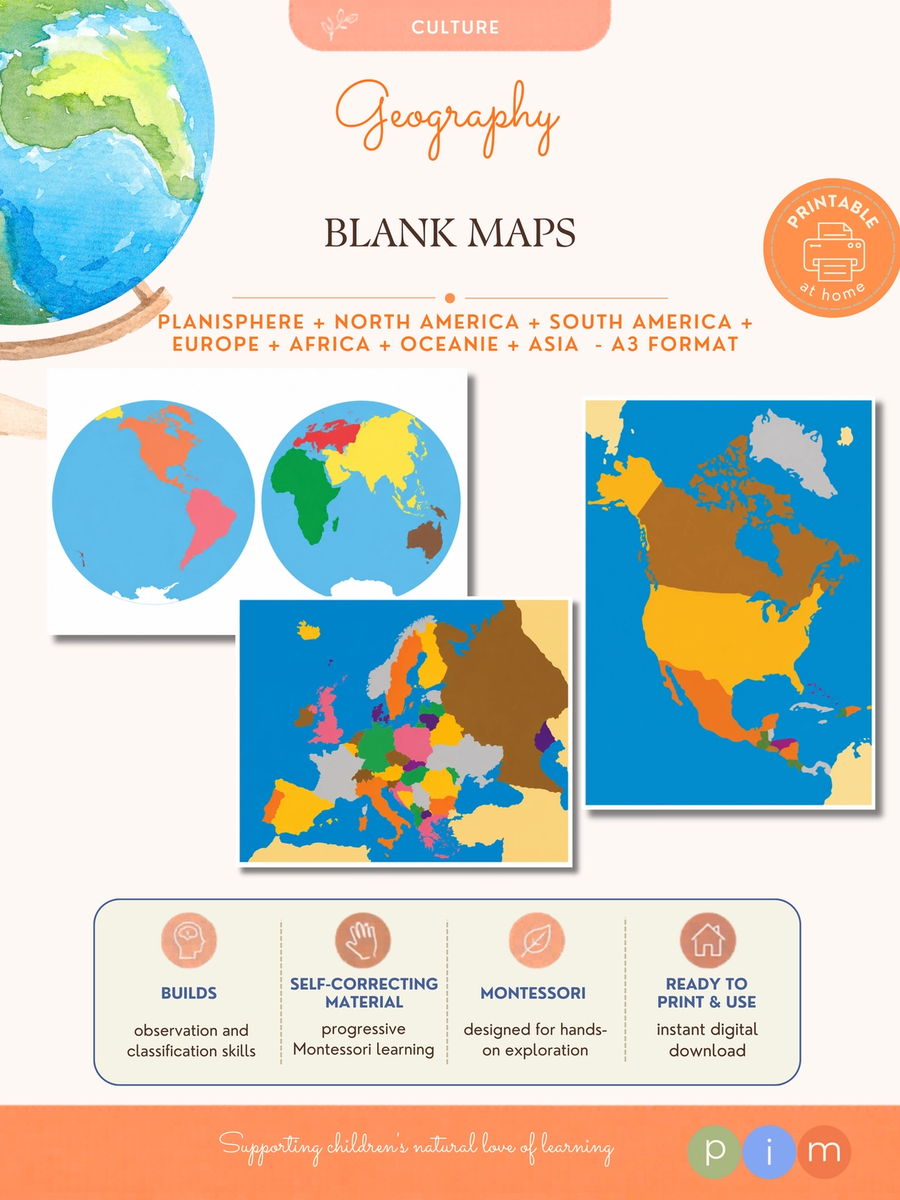
This collection of blank political maps encourages children to actively construct their geographical knowledge.
By locating countries, writing names, identifying continents and carrying out research projects, maps become tools for exploration rather than simple references. Includes: - World map. - North America. - Central America. - South America. - Europe. - Africa. - Asia. - Oceania. These maps perfectly complement materials such as World Flags, Countries & Capitals, World Currencies and other Montessori geography activities. Montessori Purpose: To develop geographical orientation and visual memory through the identification, localization and association of countries across the world's continents.
Free