
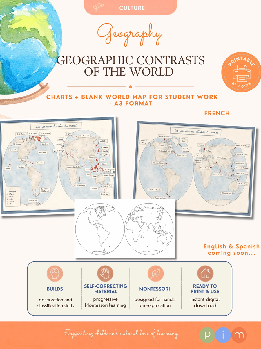
08. Geographic Land & Water Forms Charts
This collection of illustrated charts invites children to discover how the Earth's major land and water forms are distributed across the planet.
Through carefully designed maps and illustrations, children realize that geographical features are not isolated concepts but real places found throughout the world. Each chart encourages observation, comparison and geographical localization while helping children build a global understanding of the Earth's physical geography. Includes: - Six A3 illustrated charts featuring: - Islands - Straits - Lakes - Isthmuses and canals - Peninsulas - Gulfs - A blank world map for locating the geographical features studied. After each presentation, children can identify and locate real examples on the blank world map, strengthening visual memory and geographical awareness. Available in French. Montessori Purpose: To identify, locate and classify the Earth's major land and water forms while developing a global understanding of physical geography. Material Preparation: The illustrated charts may be laminated for long-term use. It is recommended not to laminate the blank world map, allowing children to write on it directly or make additional copies for future activities.